

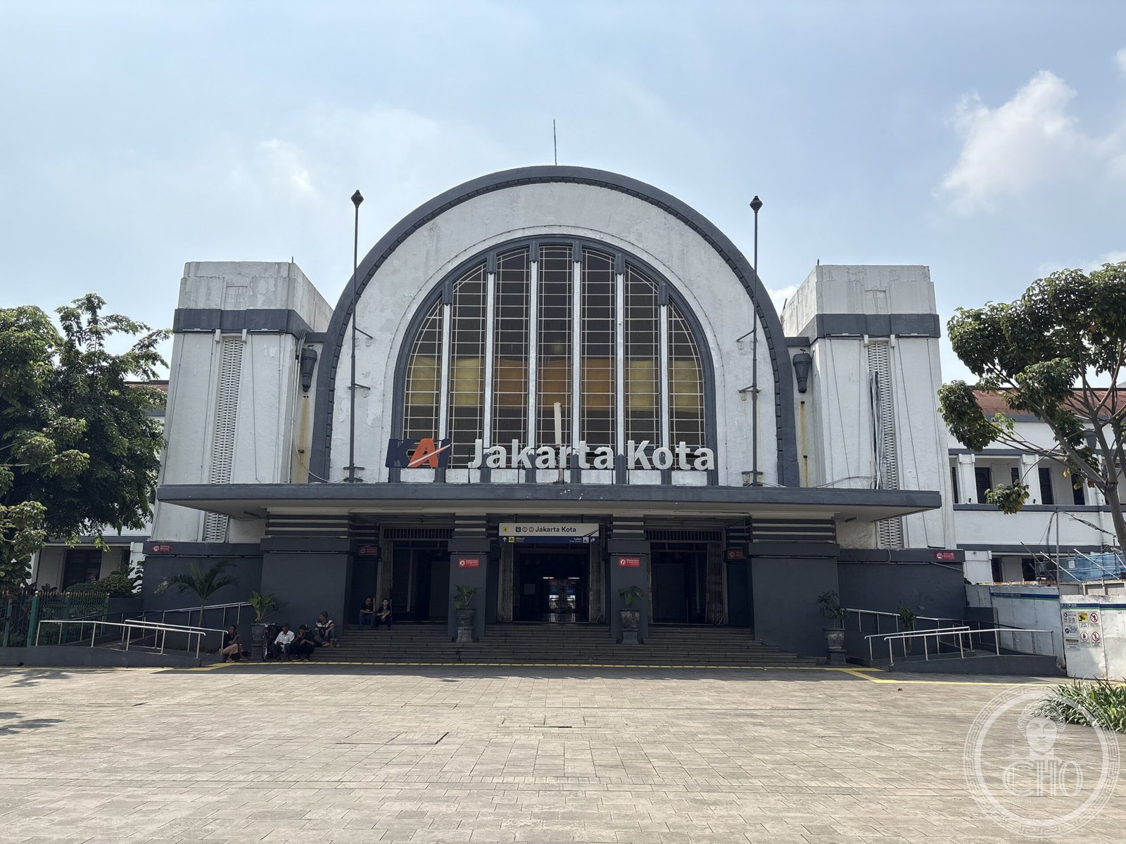
A colonial-era terminus anchoring the old city of Kota Tua, this railway station remains a vital transport hub for Greater Jakarta’s commuter networks.
At a glance
Jakarta Kota Station (station code JAKK) occupies a strategic position in the heart of Indonesia’s capital, serving as one of the city’s major railway termini. It handles two of the five commuter rail lines serving the Greater Jakarta metropolitan region, making it essential infrastructure for daily transit.
History
The station was originally named Batavia Zuid—South Batavia—reflecting its colonial heritage. Its more colloquial identity emerged from the abbreviation Beos, derived from the station’s former operator, the Bataviasche Oosterspoorweg Maatschapij (BOS). This naming convention persisted into the 20th century, marking the station’s evolution from colonial enterprise to modern public transit facility.
What you see
The station’s architectural character reflects its role as a transportation landmark within Kota Tua, Jakarta’s historic old city district. Its physical presence underscores the layered urban history visible throughout this densely preserved quarter.
Cultural significance
Jakarta Kota Station stands as a material connection between Jakarta’s colonial past and its contemporary metropolitan identity. Positioned in Kota Tua—a UNESCO World Heritage site candidate—the station anchors one of Southeast Asia’s oldest European settlements and remains integral to understanding the region’s transport history and urban development.
Key facts
- Country: Indonesia
- City: West Jakarta
- Coordinates: -6.1376, 106.8146
- Station code: JAKK
- Former names: Batavia Zuid (South Batavia); Beos Station
- Operator: Bataviasche Oosterspoorweg Maatschapij (BOS), historically
Practical information & getting there
The station is located in Kota Tua, the old city core of Jakarta, and is easily accessible via Greater Jakarta’s commuter rail network. It serves as a major terminus for two of the region’s five commuter lines, making it a primary node for public transit connections throughout the metropolitan area.
Sources & resources
Find it on the map
See this place and what’s around it →📷 Become a Cultural Heritage Online photographer
Share your photos of places: they stay published under your name as the author. The more they're seen, the more you get noticed — and soon a contest will reward the most appreciated photos.
Log in or sign up free to add a photoIs this page about you?
This page is read by travellers and heritage enthusiasts who find it on Google. Tell us how you are connected to this place and we will take it from there.