
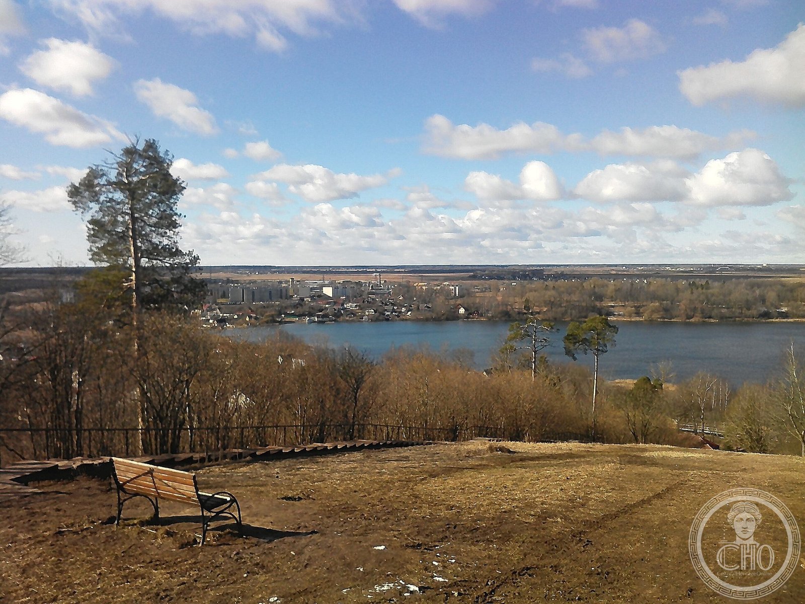
An elevated limestone landscape in northwestern Russia, shaped by ancient geological forces and defined by dramatic cliff faces overlooking the Baltic region.
At a glance
The Izhora Plateau rises across southwestern Leningrad Oblast, anchored by Ordovician limestone bedrock that tells a story of Russia’s distant geological past. Its commanding position between the Gulf of Finland and the Luga River makes it a significant regional landmark, though one defined more by natural forces than human architecture.
History
The plateau’s formation stretches back hundreds of millions of years, built on pre-Quaternary rocks that predate the ice ages. Its northern boundary was carved by erosion into the dramatic Baltic-Ladoga Klint—a cliff face that marks the meeting of ancient stone and modern landscape.
What you see
The plateau itself is largely agricultural, its elevated terrain offering commanding views across the surrounding lowlands. The Orekhovaya hill of Duderhof Heights, the plateau’s highest point at 176 metres, crowns its northeastern extremity and provides the most dramatic prospect across the region.
Cultural significance
The Izhora Plateau represents an important example of glacial and post-glacial landscape evolution in northwestern Europe. Its limestone geology has shaped local land use and settlement patterns for centuries, anchoring this corner of Leningrad Oblast in both physical and human geography.
Key facts
- Location: Southwestern Leningrad Oblast, Russia
- Coordinates: 59.5°N, 29.58°E
- Bedrock: Ordovician limestone
- Highest point: Orekhovaya hill, Duderhof Heights, 176 m elevation
- Northern boundary: Baltic-Ladoga Klint (erosional cliff)
Practical information & getting there
The plateau lies within easy reach of Saint Petersburg, situated between the Gulf of Finland and the Luga River valley. Most of the area remains agricultural; visitors seeking geological or landscape perspectives should plan accordingly and check local conditions before visiting.
Sources & resources
Find it on the map
See this place and what’s around it →📷 Become a Cultural Heritage Online photographer
Share your photos of places: they stay published under your name as the author. The more they're seen, the more you get noticed — and soon a contest will reward the most appreciated photos.
Log in or sign up free to add a photoIs this page about you?
This page is read by travellers and heritage enthusiasts who find it on Google. Tell us how you are connected to this place and we will take it from there.