
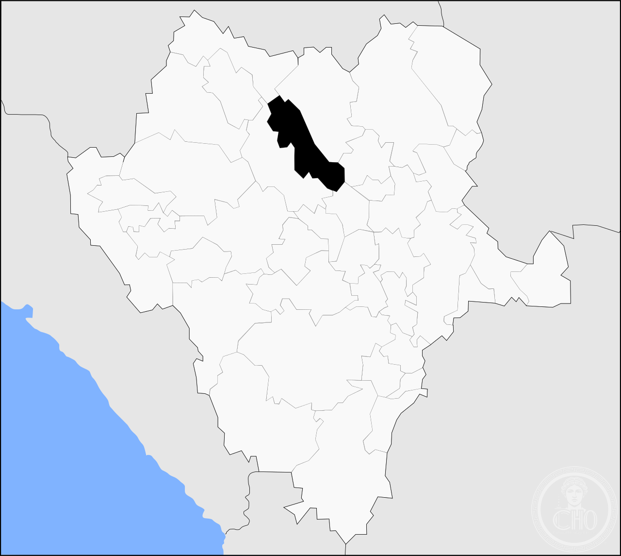
A sprawling municipality in northern Mexico, Indé encompasses vast high-desert terrain across nearly 2,400 square kilometers, with a dispersed population centered on its modest municipal seat.
At a glance
Indé is a municipality in the Mexican state of Durango, located in the Sierra Madre Occidental region. The territory spans 2,370.9 square kilometers across rugged, sparsely settled landscape. The municipality is defined by its diffuse settlement pattern rather than urban density.
History
The municipality evolved as a center of settlement within Durango’s colonial mining district. Its administrative boundaries and township structure reflect Mexico’s municipal organization system, with the town of Indé serving as the administrative and cultural focal point for the surrounding region.
What you see
The landscape is defined by desert and semi-arid terrain typical of northern Durango. The municipal seat of Indé functions as a modest commercial and administrative center, though architectural details specific to the town are not extensively documented in readily available sources.
Cultural significance
Indé represents the dispersed settlement patterns of Mexico’s northern frontier regions, where populations remain small and widely distributed across large territories. The municipality reflects the relationship between indigenous and colonial Spanish settlement in the Sierra Madre.
Key facts
- Country: Mexico
- State: Durango
- Coordinates: 25.91° N, 105.22° W
- Area: 2,370.9 km²
- Population (2010): 5,280
- Number of localities: 83 (none exceeding 1,000 residents)
Practical information & getting there
Indé is accessed via regional highways connecting Durango state. The dispersed nature of settlement means most amenities cluster in the municipal seat. Plan travel during dry season; northern Durango experiences significant elevation and seasonal weather variations.
Sources & resources
Find it on the map
See this place and what’s around it →📷 Become a Cultural Heritage Online photographer
Share your photos of places: they stay published under your name as the author. The more they're seen, the more you get noticed — and soon a contest will reward the most appreciated photos.
Log in or sign up free to add a photoIs this page about you?
This page is read by travellers and heritage enthusiasts who find it on Google. Tell us how you are connected to this place and we will take it from there.