
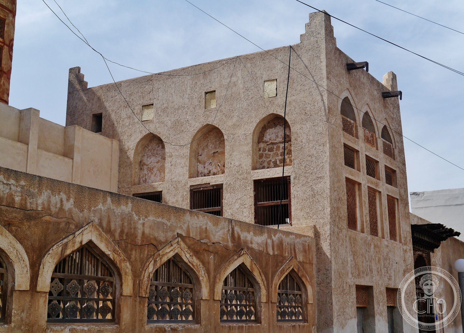
A serial heritage site preserving the legacy of pearl diving across oyster beds, coastal fortifications, and merchants’ quarters in Muharraq Island.
At a glance
The Bahrain Pearling Trail encompasses three oyster beds in the northern waters, a coastal segment with the Bu Mahir fort, and 17 historic buildings in Muharraq’s old quarters, linked by a 3.5-kilometre visitor pathway. Inscribed on UNESCO’s World Heritage List in 2012, it functions as an open-air museum documenting pearl diving—once the economic foundation of island life.
History
Pearling was the lifeblood of Bahrain’s economy for centuries before the twentieth century. The site traces this heritage across three interconnected components: the oyster beds where divers worked, coastal installations, and the merchants’ district where traders lived and conducted business. Bu Mahir fort, positioned on the southern tip of Muharraq Island, guarded this vital trade. The seventeen buildings in the historical quarters reflect the prosperity and social structures that pearl commerce created.
What you see
Visitors encounter authentic mercantile residences, trade facilities, and defensive structures. The Bu Mahir fort anchors the coastal edge. The pathway connects these elements across Muharraq’s preserved streetscapes, allowing exploration of how pearl merchants and diving crews organized their neighbourhoods. The waterfront sites reveal the physical geography of this maritime economy.
Cultural significance
The site documents a vanished economic system with global reach. Pearl diving shaped Bahraini society, architecture, trade networks, and daily life across generations. The trail demonstrates how a single natural resource structured an island’s culture and built environment. It stands as Bahrain’s second UNESCO World Heritage Site, following Bahrain Fort.
Key facts
- Country: Bahrain
- Location: Muharraq Island
- UNESCO World Heritage Site: Inscribed 30 June 2012
- Components: Three oyster beds, Bu Mahir fort, seventeen historic buildings
- Visitor pathway: 3.5 kilometres
- Coordinates: 26.24128, 50.61351
Practical information & getting there
The trail is accessible from Muharraq, Bahrain’s second-largest city. You can explore the pathway and historic quarters on foot. For specific opening hours, facilities, and guided tours, check local cultural heritage resources and visitor centres in Muharraq.
Sources & resources
Find it on the map
See this place and what’s around it →📷 Become a Cultural Heritage Online photographer
Share your photos of places: they stay published under your name as the author. The more they're seen, the more you get noticed — and soon a contest will reward the most appreciated photos.
Log in or sign up free to add a photo