
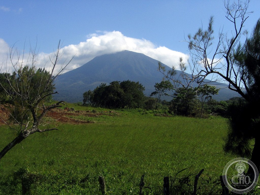
A vast network of protected tropical ecosystems in northwestern Costa Rica, safeguarding one of the world’s most biodiverse regions and a continuous expanse of dry forest habitat.
At a glance
The Area de Conservación Guanacaste is a World Heritage Site spanning northwestern Costa Rica’s Guanacaste Province. Its protected lands preserve an unbroken tract of tropical dry forest—a rare and threatened ecosystem—alongside crucial habitat for endangered wildlife. The conservation area has become a cornerstone of environmental protection in Central America.
History
Designated as a World Heritage Site, the conservation area was established to protect irreplaceable natural systems and species facing extinction across the region. The network grew from recognition of the area’s biological importance and the urgent need to preserve tropical dry forest before further habitat loss.
What you see
The site comprises interconnected protected zones featuring tropical dry forest—a distinct habitat type characterized by seasonal tree loss and adapted vegetation. These forests support mangrove wetlands and upland ecosystems, each hosting specialized plant and animal communities adapted to the region’s climate and geography.
Cultural significance
The Area de Conservación Guanacaste represents a global commitment to biodiversity conservation. Its protection ensures the survival of vulnerable species and maintains ecological processes essential to Central American ecosystems. For Costa Rica, the site exemplifies the nation’s leadership in environmental stewardship and sustainable land management.
Key facts
- Location: Guanacaste Province, northwestern Costa Rica
- Coordinates: 10.85°N, 85.62°W
- UNESCO World Heritage Site: yes
- Flora: over 7,000 plant species documented
- Fauna: 900+ vertebrate species, including Central American tapirs, mangrove hummingbirds, and great green macaws
- Primary habitat: unbroken tropical dry forest
Practical information & getting there
The conservation area encompasses multiple protected zones accessible via northwestern Costa Rica. Contact local authorities or conservation organizations for current access information, permitted activities, and visitor guidelines for different sections of the protected network.
Sources & resources
Find it on the map
See this place and what’s around it →📷 Become a Cultural Heritage Online photographer
Share your photos of places: they stay published under your name as the author. The more they're seen, the more you get noticed — and soon a contest will reward the most appreciated photos.
Log in or sign up free to add a photo