
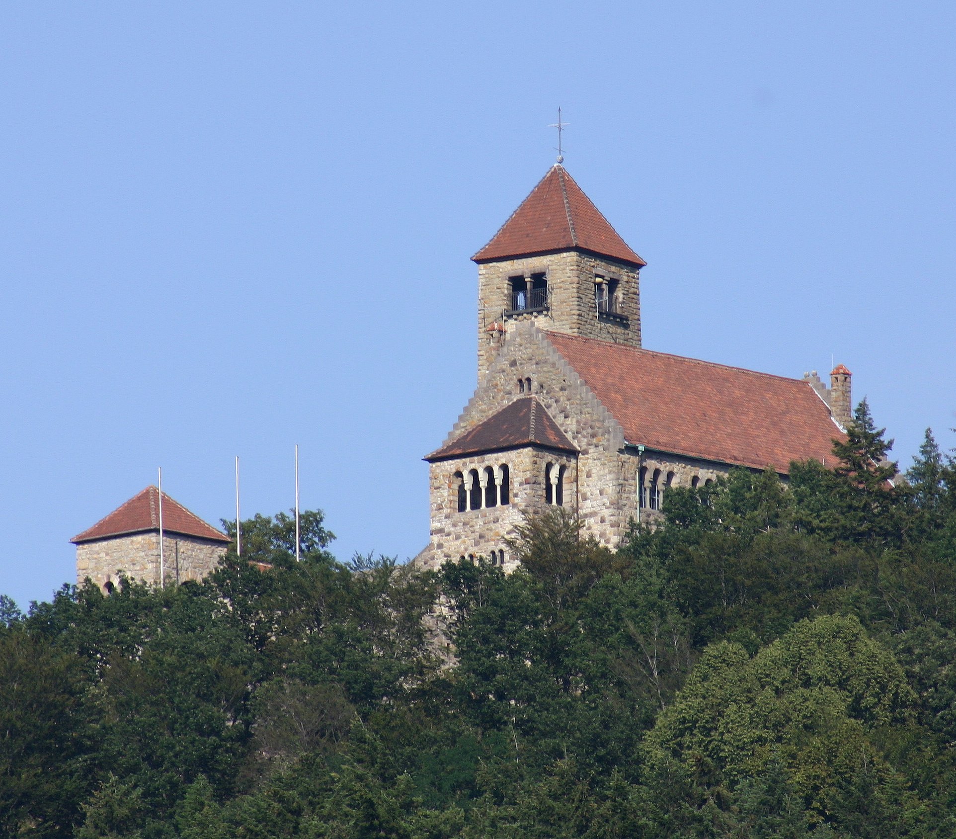
A hilltop castle built by a student corps, the Wachenburg commands views over the Bergstrasse region and operates today as a public restaurant and gathering space.
At a glance
The Wachenburg stands on elevated terrain above Weinheim an der Bergstrasse, a town in Baden-Württemberg’s wine country. Its distinctive silhouette punctuates the landscape, visible from considerable distance across the surrounding terrain.
History
The castle was constructed between 1907 and 1928 by the Weinheimer Senioren-Convent, a Corps association of former students. The extended building campaign reflected both the ambitions of this academic fraternity and the structural complexity of erecting a substantial fortified structure on the hilltop.
What you see
The castle presents a formal architectural presence commanding its elevated setting. Designed to suggest medieval tradition while embodying early 20th-century construction methods, it demonstrates the period’s romantic fascination with historic forms reimagined in contemporary materials and scale.
Cultural significance
The Wachenburg represents a distinctive chapter in German commemorative architecture—a monument to academic fraternity life and institutional memory built not by aristocracy but by a student organization. It remains an emblem of regional identity in the Bergstrasse wine region.
Key facts
- Country: Germany
- City: Weinheim
- Coordinates: 49.5494, 8.6856
- Construction: 1907–1928
- Builder: Weinheimer Senioren-Convent (student corps)
Practical information & getting there
The castle operates a restaurant open to the public, where you can enjoy dining with expansive views across the countryside. Visitors should check current opening hours and any seasonal closures before planning a visit.
Sources & resources
Find it on the map
See this place and what’s around it →📷 Become a Cultural Heritage Online photographer
Share your photos of places: they stay published under your name as the author. The more they're seen, the more you get noticed — and soon a contest will reward the most appreciated photos.
Log in or sign up free to add a photoIs this page about you?
This page is read by travellers and heritage enthusiasts who find it on Google. Tell us how you are connected to this place and we will take it from there.