
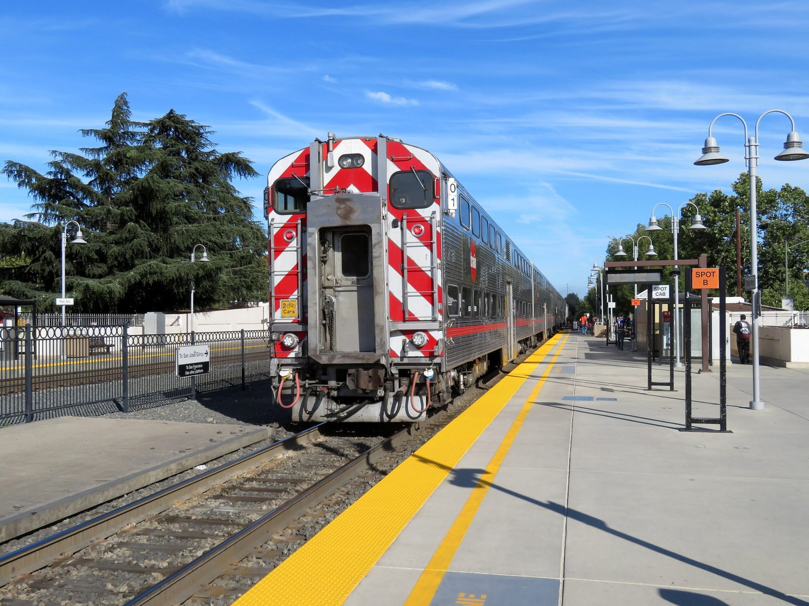
A streamlined modernist transit hub that anchors the Peninsula Corridor, serving Stanford University and Silicon Valley commuters since the railroad’s earliest days.
At a glance
Palo Alto Station is a regional intermodal transit center in the heart of Silicon Valley. It ranks as the second-busiest Caltrain station in the Bay Area, averaging 7,764 weekday boardings. The facility combines regional rail, local and express bus service, and university shuttles under one roof.
History
The San Francisco and San Jose Railroad first reached the site in 1863, cutting through undeveloped land north of Mayfield. When Stanford University was established, the railroad opened a dedicated Palo Alto station in 1890—the first of three iterations. A larger depot replaced it in 1896 to accommodate growing ridership.
In 1941, the Southern Pacific Railroad constructed a new station designed by architect John H. Christie as part of a grade separation project. The building exemplifies Streamline Moderne style, intentionally designed to complement the railroad’s Daylight series of streamlined passenger trains. Intercity service ceased in 1971, though commuter rail endured and became Caltrain in 1985. The historic station building was designated to the National Register of Historic Places in 1996.
What you see
The 1941 station building displays the hallmarks of Streamline Moderne design, a style that celebrated technological progress through curved forms and horizontal lines. Two side platforms serve the two tracks of the Peninsula Subdivision, with a nearby bus transfer plaza accommodating multiple transit operators.
Cultural significance
Palo Alto Station reflects the intertwined history of Silicon Valley’s growth and rail infrastructure. Its Streamline Moderne architecture represents a pivotal moment when American railroads invested in modern design to compete with automobile travel. The station remains essential to regional commuting patterns and Stanford’s connection to the broader Bay Area.
Key facts
- Country: United States
- City: Palo Alto, California
- Coordinates: 37.44°N, 122.17°W
- Architect: John H. Christie (1941 station)
- Style: Streamline Moderne
- Listed on the National Register of Historic Places: 1996
- Second-busiest Caltrain station by ridership
Practical information & getting there
The station is served by Caltrain regional rail, SamTrans and Santa Clara VTA local buses, Dumbarton Express, the Stanford University Marguerite Shuttle, and several local shuttle services. It is located in downtown Palo Alto and accessible by car, transit, and foot from surrounding neighborhoods and Stanford’s campus.
Sources & resources
Find it on the map
See this place and what’s around it →📷 Become a Cultural Heritage Online photographer
Share your photos of places: they stay published under your name as the author. The more they're seen, the more you get noticed — and soon a contest will reward the most appreciated photos.
Log in or sign up free to add a photoIs this page about you?
This page is read by travellers and heritage enthusiasts who find it on Google. Tell us how you are connected to this place and we will take it from there.