
A sacred pilgrimage route connecting Japan’s most revered shrine to the three great temples of Kumano, the Iseji traces centuries of spiritual devotion across mountain and forest.
At a glance
The Iseji forms part of the Kumano Kodō, a network of pilgrimage trails in the Kii Peninsula. This particular route links the Ise Grand Shrine with the three great shrines of Kumano—Hongu, Nachi, and Hayatama. Pilgrims have walked these paths for over a thousand years.
History
The Iseji developed as a sacred connection between two of Japan’s most important Shinto sites. Ise Grand Shrine, dedicated to the sun goddess Amaterasu, stands as Japan’s holiest sanctuary. The three Kumano shrines—Hongu, Nachi, and Hayatama—form a trinity equally revered in Japanese religious tradition. For centuries, pilgrims combined visits to both complexes, establishing the Iseji as a natural and spiritually significant route.
What you see
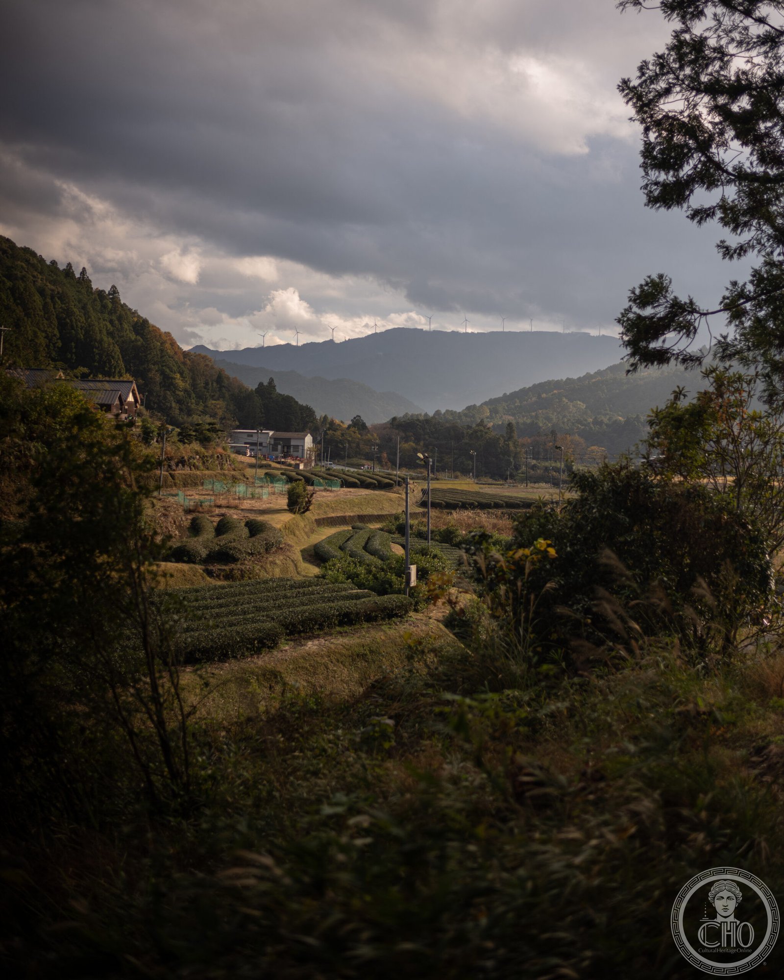
The trail passes through varied landscapes: forested mountain passes, river valleys, and sacred groves. Waymarkers, stone monuments, and occasional shelters dot the route, serving both practical and spiritual functions. The path reflects the careful stewardship of communities who have maintained these trails for generations.
Cultural significance
The Iseji embodies the Japanese practice of pilgrimage as spiritual discipline and cultural continuity. Walking these routes remains an act of devotion and a way to connect with Japan’s deepest religious traditions. The trails themselves are considered sacred, not merely the destinations.
Key facts
- Country: Japan
- Prefectures: Mie and Wakayama
- Coordinates: 33.8797° N, 136.0931° E
- Part of the Kumano Kodō pilgrimage system
- Connects Ise Grand Shrine with Hongu, Nachi, and Hayatama Shrines
Practical information & getting there
Most pilgrims begin at Ise Grand Shrine, accessible by train via Ise Station. The walk to Kumano typically takes several days. You’ll find lodging and meal services in towns along the route. Wear sturdy hiking boots and pack sufficient water. Detailed trail maps and guides are available locally.
Sources & resources
Find it on the map
See this place and what’s around it →📷 Become a Cultural Heritage Online photographer
Share your photos of places: they stay published under your name as the author. The more they're seen, the more you get noticed — and soon a contest will reward the most appreciated photos.
Log in or sign up free to add a photoIs this page about you?
This page is read by travellers and heritage enthusiasts who find it on Google. Tell us how you are connected to this place and we will take it from there.