
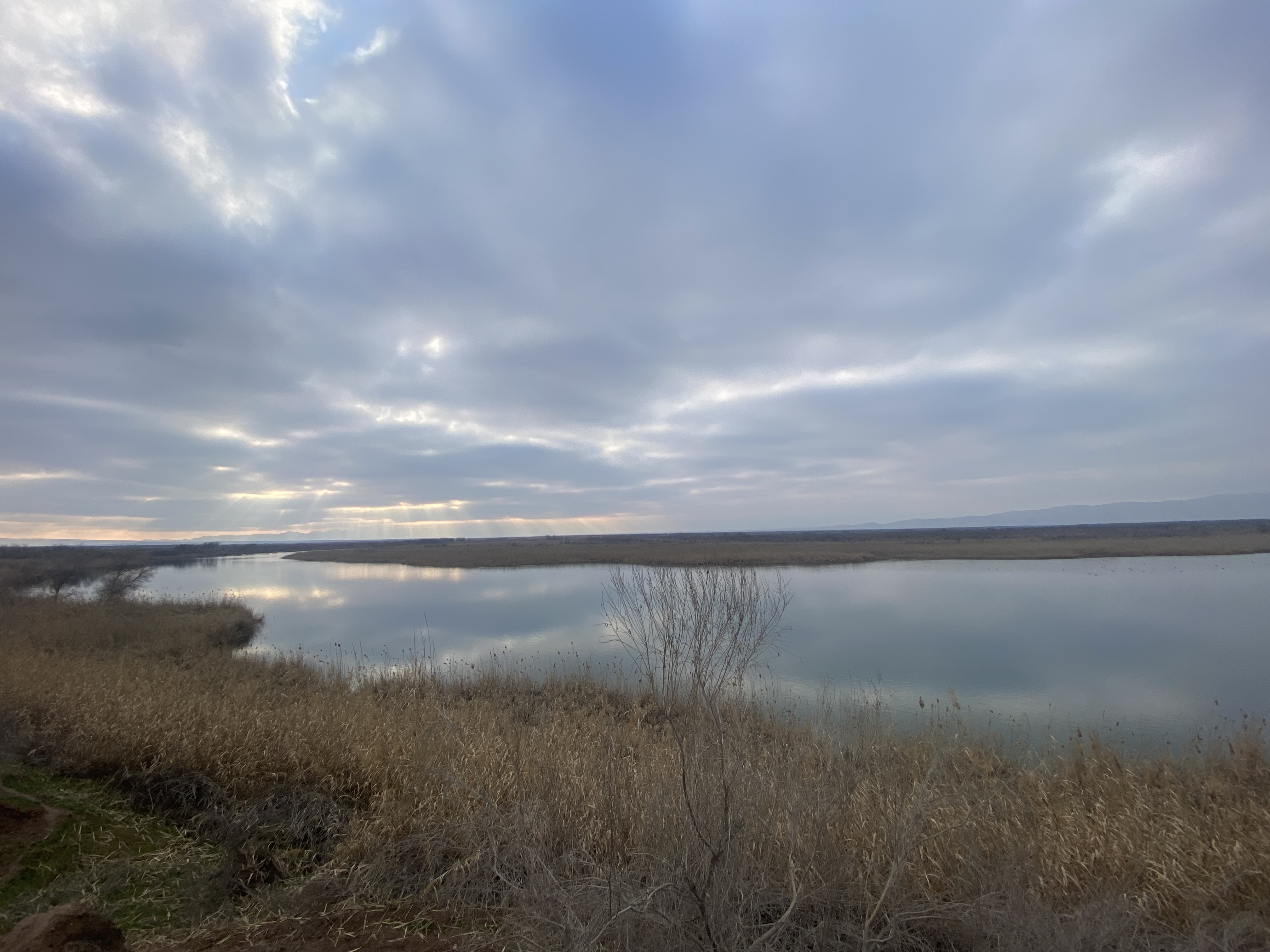
A vast protected wetland where the Vakhsh and Panj Rivers converge to form the Amu Darya, spanning 460 square kilometres of ecological significance in Central Asia.
At a glance
Tigrovaya Balka is one of Tajikistan’s most important nature reserves, protecting a critical riverine ecosystem at a major geographical confluence. The reserve stretches over 40 kilometres from southwest to northeast, embracing the floodplains and wetlands where two major rivers meet to create one of the world’s longest inland waterways.
History
Established as a nature reserve to protect the unique biodiversity of the Amu Darya delta region, Tigrovaya Balka has become a sanctuary for species dependent on Central Asian riverine environments. The reserve’s designation reflects international recognition of its ecological value.
What you see
The landscape consists of river floodplains, wetlands, and riparian vegetation shaped by the seasonal flows of two major waterways. The terrain reveals the natural processes that occur where distinct river systems merge, creating diverse habitats within a relatively compact geographical area.
Cultural significance
Tigrovaya Balka holds importance for both conservation and regional geography. The reserve protects habitats essential to migratory species and demonstrates Tajikistan’s commitment to preserving Central Asian natural heritage. The site’s location at a watershed of continental significance underscores its role in understanding regional hydrology and ecology.
Key facts
- Country: Tajikistan
- Area: 460 km² (180 sq mi)
- Length: 40 km (25 mi) southwest to northeast
- Location: Confluence of Vakhsh and Panj Rivers
- Coordinates: 37.267°N, 68.467°E
- UNESCO World Heritage Site: Yes
Practical information & getting there
Access to Tajikistan’s protected areas requires permits and arrangements through local authorities. The reserve’s location in a remote region near the Afghan border means travel is restricted and must be coordinated with official channels. Contact Tajikistan’s wildlife authorities or the Ministry of Environment for current visiting regulations.
Sources & resources
Find it on the map
See this place and what’s around it →📷 Become a Cultural Heritage Online photographer
Share your photos of places: they stay published under your name as the author. The more they're seen, the more you get noticed — and soon a contest will reward the most appreciated photos.
Log in or sign up free to add a photo