
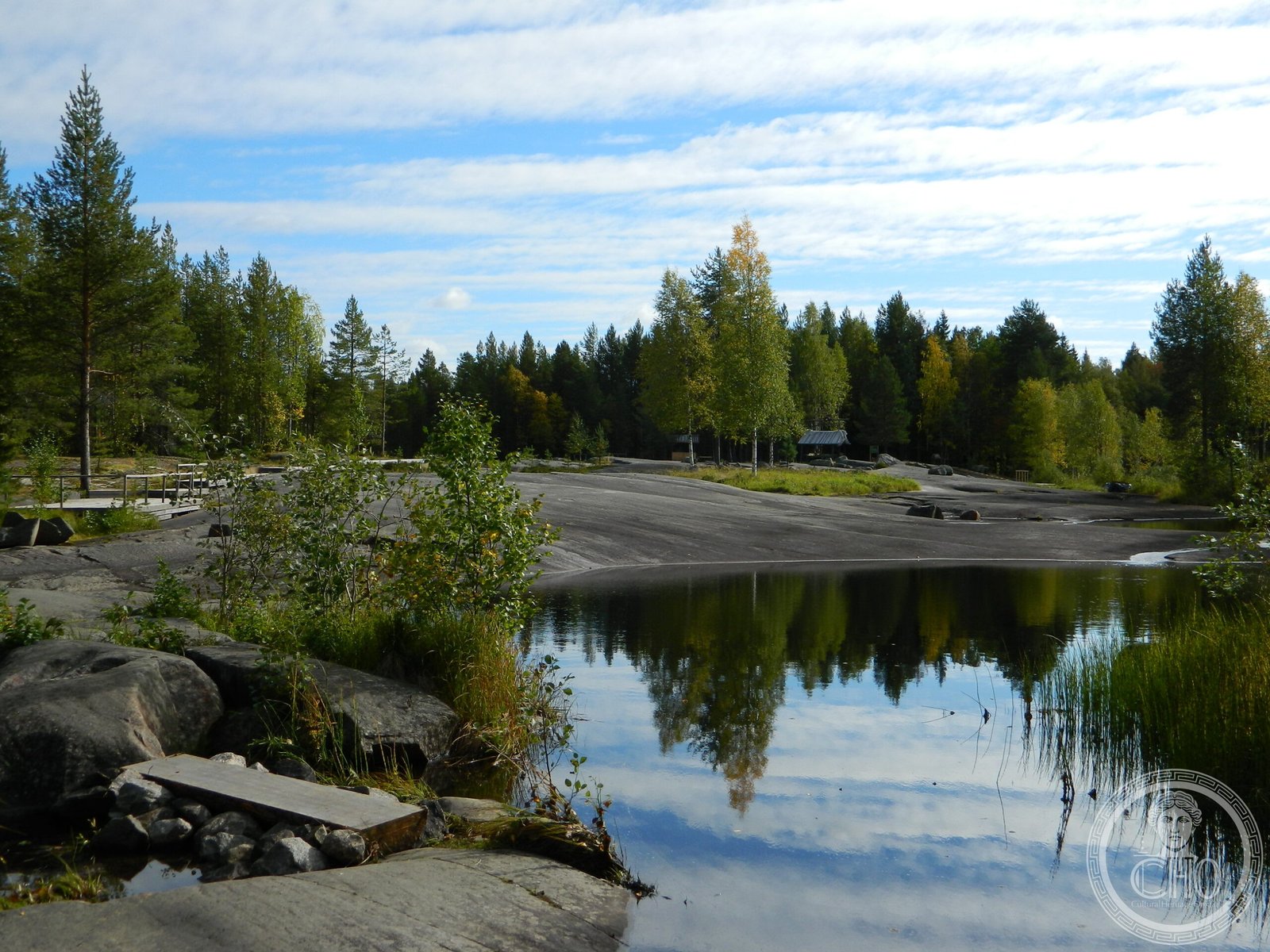
Over 4,600 rock carvings spanning two clusters reveal the spiritual and daily life of Neolithic hunter-gatherers who inhabited Fennoscandia millennia ago.
At a glance
A UNESCO World Heritage Site comprising 33 petroglyph sites across two geographically distinct clusters in the Russian north. The carvings date to 7000–4000 BCE and offer rare visual testimony to Neolithic cultures of northern Europe.
History
The rock carvings were created between 7 and 4 millennia ago by the Neolithic peoples of Fennoscandia. The two clusters—one at Lake Onega and one at the White Sea—developed in response to the distinct environments and subsistence strategies of their creators. The Lake Onega sites span the Pudozhsky District with 22 locations; the White Sea cluster occupies the Belomorsky District with 11 sites. The site was inscribed on the UNESCO World Heritage List on 28 July 2021.
What you see
The Lake Onega cluster contains more than 1,200 figures, predominantly depicting birds, terrestrial animals, and hybrid human-animal beings. Geometric motifs—possibly representing celestial bodies—appear throughout. Besov Nos cape is among the better-known locations within this cluster.
The White Sea cluster holds over 3,400 carvings with distinct thematic focus. Hunting scenes dominate the iconography, showing hunters alongside their prey. Figures depict sailing vessels, hunting and labour tools, animal footprints, and human footprints, emphasizing the maritime and terrestrial economies of the inhabitants.
Cultural significance
These petroglyphs provide unparalleled insight into the cosmology, hunting practices, and symbolic worldview of Neolithic northern Europe. The concentration and diversity of imagery across both clusters document how different environments shaped cultural expression—inland hunting spirituality at Lake Onega versus maritime subsistence strategies at the White Sea. The site represents a critical window into pre-literate societies of the Far North.
Key facts
- Location: Republic of Karelia, Russia
- Coordinates: 61.7299°N, 36.0126°E
- UNESCO World Heritage Site: Inscribed 28 July 2021
- Composition: 33 petroglyph sites in two clusters
- Dating: 7000–4000 BCE (Neolithic period)
- Imagery: Over 4,600 figures including animals, humans, vessels, and geometric forms
Practical information & getting there
The sites are located in the Pudozhsky and Belomorsky districts of Karelia in northwestern Russia. Access requires travel to the region via Petrozavodsk or other regional centres. Specific site access conditions and visitor facilities should be confirmed with local tourism authorities in Karelia, as many petroglyph locations remain in remote settings.
Sources & resources
Find it on the map
See this place and what’s around it →📷 Become a Cultural Heritage Online photographer
Share your photos of places: they stay published under your name as the author. The more they're seen, the more you get noticed — and soon a contest will reward the most appreciated photos.
Log in or sign up free to add a photo