
A network of Spanish colonial roads spanning the Isthmus of Panama, connecting the Atlantic and Pacific Oceans across mountains and jungle.
At a glance
This UNESCO World Heritage Site comprises six distinct areas, including the fortified ports of Portobelo and San Lorenzo, the capital Panama City, and two sections of the Camino de Cruces trail alongside the Camino Real. Together they form a remarkable record of 16th to 19th-century Spanish colonial infrastructure.
History
The Spanish built this network of routes to move goods and people across the Isthmus, bypassing the long sea voyage around South America. The routes facilitated trade between Europe and the Pacific coast of South America for centuries, making Panama a crucial hub of global commerce.
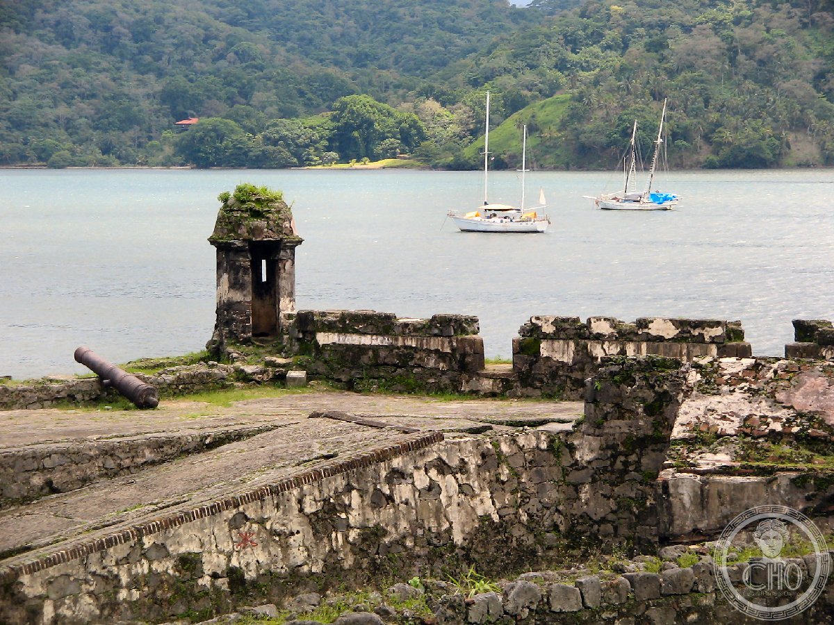
Portobelo and San Lorenzo served as heavily fortified Atlantic ports protecting the crown’s monopoly on transatlantic treasure shipments.
What you see
The route system includes surviving stone-paved trails, particularly visible sections of the Camino Real and Camino de Cruces, which wind through dense tropical forest. The fortifications at Portobelo and San Lorenzo feature substantial stone bastions and defensive walls, many still intact despite centuries of weathering and abandonment.
Cultural significance
The Colonial Transisthmian Route stands as physical testimony to Spain’s transatlantic empire and the economic forces that shaped the modern world. These pathways sustained one of history’s largest treasure flows and influenced the eventual construction of the Panama Canal.
Key facts
- Country: Panama
- UNESCO World Heritage Site: Inscribed 1980
- Components: Six areas including Panama City, Portobelo, San Lorenzo, Camino de Cruces (two sections), and Camino Real
- Period of construction: 16th–19th centuries
Practical information & getting there
The sites are distributed across Panama’s Caribbean coast and interior. Portobelo lies east of Colón; San Lorenzo is accessible from the San Blas Islands region. The jungle trails require appropriate footwear and local guidance. Visit during the dry season (December to April) for safer passage through the forest sections.
Sources & resources
Find it on the map
See this place and what’s around it →📷 Become a Cultural Heritage Online photographer
Share your photos of places: they stay published under your name as the author. The more they're seen, the more you get noticed — and soon a contest will reward the most appreciated photos.
Log in or sign up free to add a photo