
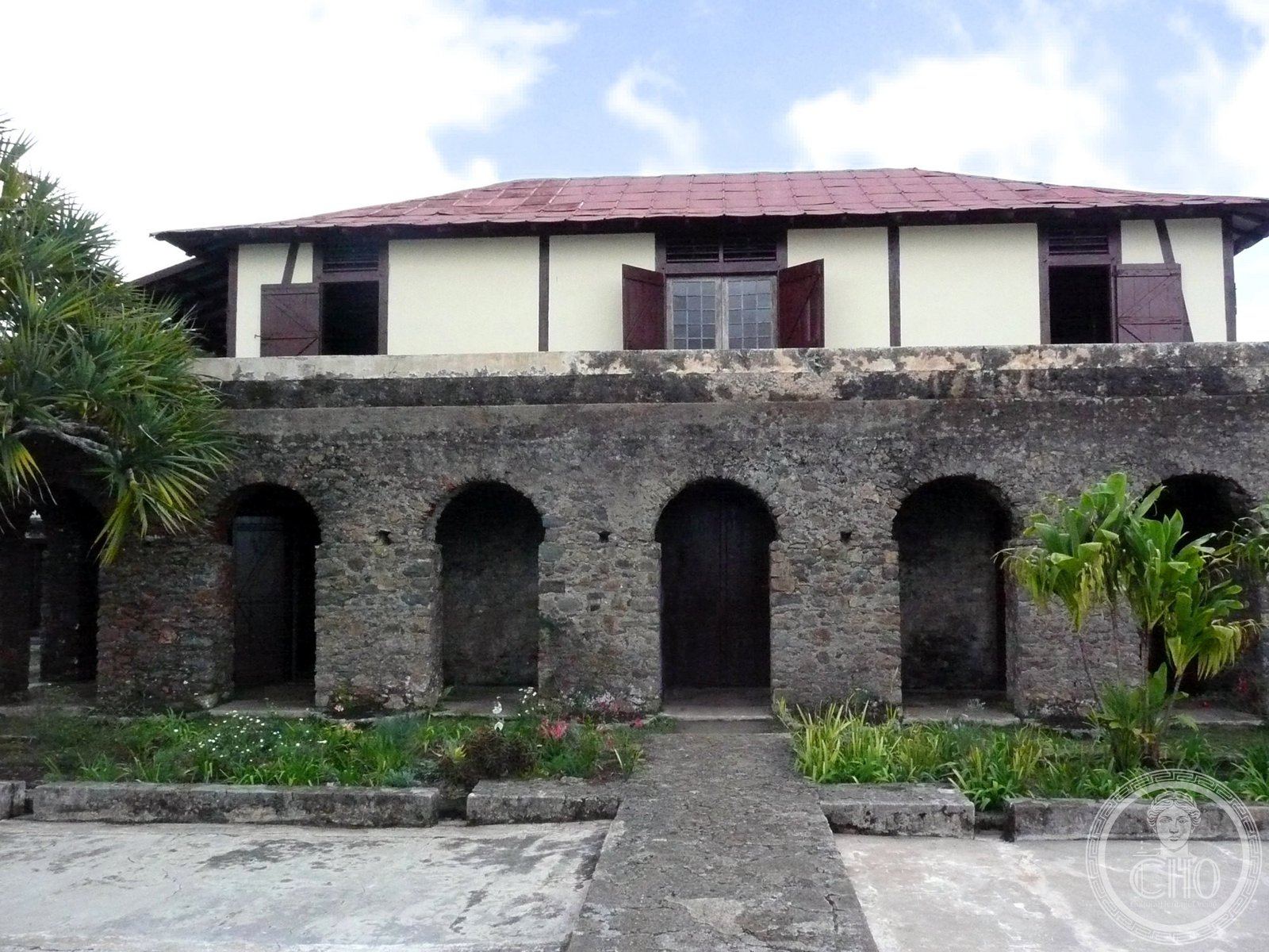
Scattered across the Sierra Maestra foothills, the ruins of 19th-century coffee estates reveal how enslaved and free workers cultivated one of the Caribbean’s most valuable crops on unforgiving mountain terrain.
At a glance
The plantations represent a transformative period when eastern Cuba became synonymous with coffee production. Their physical remains—terraces, cisterns, housing, and processing structures—document both agricultural innovation and the human cost of colonial enterprise.
History
During the 19th and early 20th centuries, eastern Cuba became the island’s primary coffee-growing region. Planters cleared steep forest land and built elaborate systems to manage water and soil on challenging slopes. The estates flourished as part of a broader Caribbean coffee boom, though they were eventually abandoned as economic patterns shifted and larger sugar plantations dominated Cuban agriculture.
What you see
The archaeological landscape preserves the complete infrastructure of plantation life. Terraced fields demonstrate sophisticated engineering adapted to mountainous topography. Remains include stone foundations of processing houses, storage structures, water management systems, and residential quarters—evidence of the technical knowledge and labor required to sustain production in difficult terrain.
Cultural significance
These ruins illuminate the economic and social foundations of the Caribbean plantation system. They reveal the interdependence of geography, technology, and forced labor that shaped colonial Cuba. The sites document how coffee cultivation reshaped eastern Cuba’s landscape and society, while testifying to the resilience of the people who worked these estates.
Key facts
- Country: Cuba
- Region: South-eastern foothills of the Sierra Maestra
- Coordinates: 20.03°N, 75.39°W
- Period: 19th–early 20th centuries
- UNESCO World Heritage Site: inscribed 2000
Practical information & getting there
The sites are located in remote mountainous terrain near Santiago de Cuba. Access requires local guides and planning; contact the Santiago de Cuba tourism office or UNESCO site administration for current visiting conditions and organized tours.
Sources & resources
Find it on the map
See this place and what’s around it →📷 Become a Cultural Heritage Online photographer
Share your photos of places: they stay published under your name as the author. The more they're seen, the more you get noticed — and soon a contest will reward the most appreciated photos.
Log in or sign up free to add a photo