
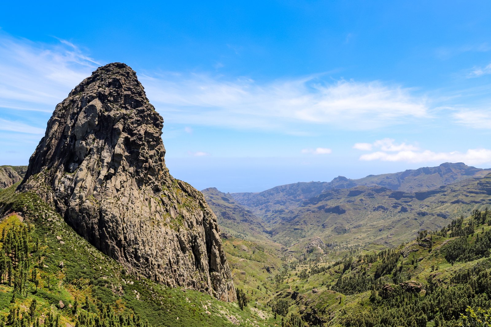
A UNESCO-protected landscape of ancient volcanic peaks and laurel forests at the heart of the Canary Islands, where erosion has carved dramatic rock formations sacred to the island’s original inhabitants.
At a glance
Garajonay spans 40 square kilometers across all six municipalities of La Gomera. The park draws nearly 450,000 visitors annually, drawn by its highest peak—Garajonay rock formation at 1,487 metres—and an extensive network of eighteen footpaths winding through the terrain.
History
The park was officially designated in 1981 and recognized as a UNESCO World Heritage Site five years later in 1986. The rock formations themselves tell a deeper history: these are the weathered remains of ancient volcanoes, their shapes refined over millennia by wind and rain. Indigenous islanders regarded certain formations, particularly the “Fortaleza” (fortress), as sacred spaces and strategic strongholds during periods of conflict.
What you see
Massive rock formations dominate the landscape—eroded volcanic peaks sculpted into dramatic silhouettes. The park encompasses a small plateau ranging from 790 to 1,400 metres in altitude, creating distinct ecological zones. The eighteen marked footpaths traverse varied terrain, from steep ascents to gentler forest walks, offering multiple perspectives on the island’s geological story.
Cultural significance
Garajonay represents both geological and cultural heritage. The rock formations held spiritual and practical meaning for pre-Hispanic inhabitants, functioning as refuge and places of reverence. Today, the park preserves this layered history while serving as a major ecological and recreational destination, balancing conservation with sustainable tourism.
Key facts
- Location: La Gomera, Canary Islands, Spain
- Coordinates: 28.126°N, 17.237°W
- Area: 40 square kilometers
- Highest point: Garajonay rock formation, 1,487 metres
- Footpaths: 18 marked routes
- UNESCO World Heritage Site: Yes (1986)
- Annual visitors: Approximately 450,000
Practical information & getting there
Accommodation is available just outside the park’s boundary. The eighteen footpaths range in difficulty and duration, making trekking the primary activity. You can reach La Gomera by ferry or flight from nearby islands in the Canary Islands archipelago.
Sources & resources
Find it on the map
See this place and what’s around it →📷 Become a Cultural Heritage Online photographer
Share your photos of places: they stay published under your name as the author. The more they're seen, the more you get noticed — and soon a contest will reward the most appreciated photos.
Log in or sign up free to add a photo