

Treviso is an Italian town of 85,714 inhabitants, the capital of the homonymous province in Veneto. The municipality is the fifth largest in the region by population, but its urban area has over 250,000 inhabitants. The city is about 30 km from the regional capital, Venice.
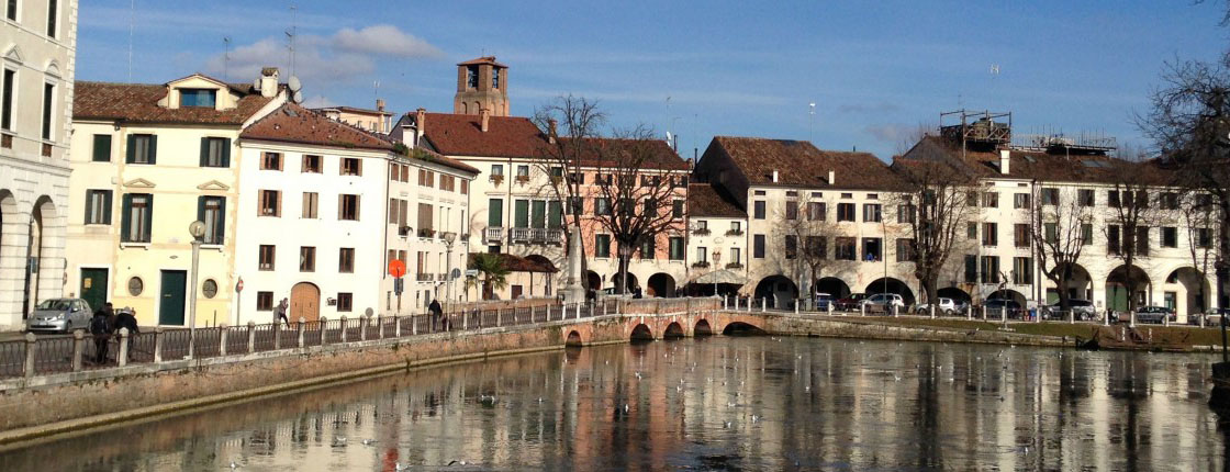
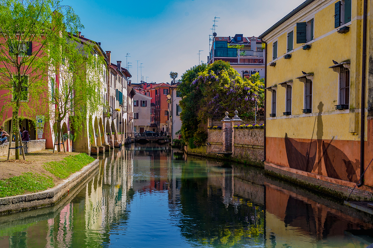
The city rises on the low Venetian plain, in an area rich in water resources: there are numerous spring springs, locally called fontanassi. Numerous resurgence rivers are born within the same municipal area, the most important of which is the Botteniga. The latter, after receiving the waters of Pegorile and Piavesella, crosses the walls at the height of the Ponte de Pria and then divides into the different branches, called cagnani (Cagnan Grande, Buranelli, Roggia), which characterize the historic center so much.
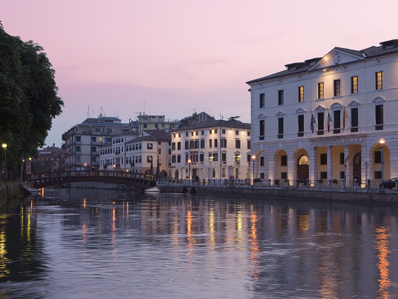
Another, more modest spring water course, was born within the walls, the Cantarane (0.447 km, mostly underground). However, the main river is the Sile which, after having lapped the southern walls, receives the waters of the Cagnani del Botteniga. Other relevant rivers, all tributaries of the Sile, are the Storga, the Limbraga (from the left) and the Dosson (from the right). The city rests on a land composed of fine and silty-sandy materials. The distribution of the various stratigraphic levels is very irregular due to the frequent digressions and course variations suffered by rivers during the last geological era.
The minimum altitude is 6 m. and is found at the southeastern end of the municipal area, in Sant'Antonino; on the other hand, the maximum point, 31 m, corresponds to the northwestern end, near Santa Bona. The town hall, Ca 'Sugana, is instead located at 15 m. As regards seismic risk, Treviso is classified in zone 3, i.e. with low seismicity.
Treviso City
Address: 31100, Treviso
Phone: 0422 6581
Site:
https://www.comune.treviso.it/Location inserted by
Culturalword Abco