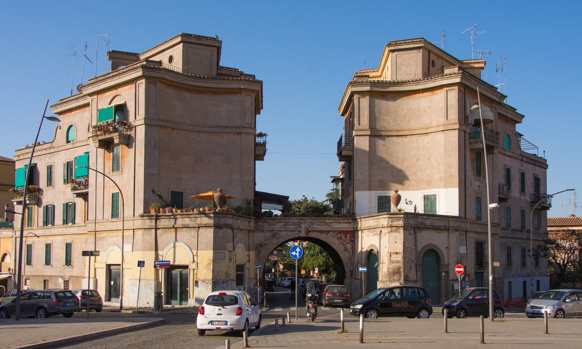


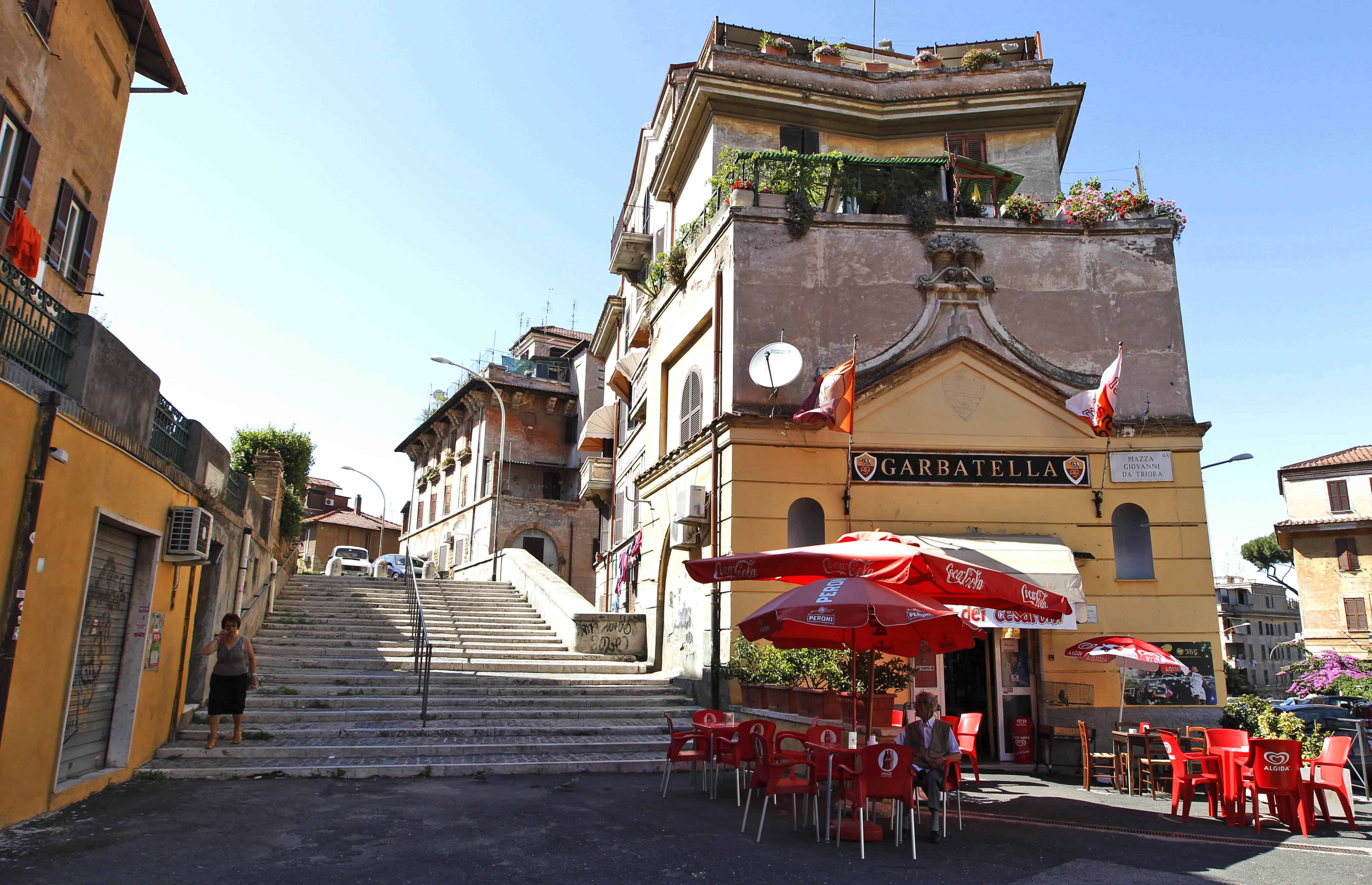
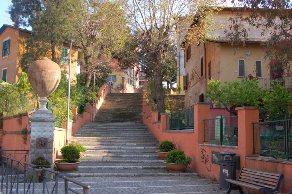
La Garbatella is the 11C urban area of the Municipality of Rome VIII (formerly the Municipality of Rome XI) of Rome Capital. It extends over the Q. X Ostiense district.

Since the Middle Ages, the territory on which the original nucleus of the Garbatella district stands was affected by the presence of various lay and ecclesiastical owners, among the latter probably the most important was the monastery of Sant'Alessio all'Aventino which had owned assets since the 12th century in the districts of Bagnaia, which according to Antonio Nibby would take its name from the baths built by Pope Simmaco around the year 500 between the apse of the basilica of San Paolo and the homonymous cliff, Formello and the Cupula valley, all included in the area enclosed by the bed of the river Almone or Acquataccio, from via Ostiensee from via delle Sette Chiese.

Over time, other owners such as Nicola Maria Nicolai joined these.
At the beginning of the 20th century, when the expropriations for the construction of the district began, the main properties were those of the Torlonia family, owner of the Monte Bagnaia estate and that of the heirs of Mariano Armellini, in addition to the vineyards of the Roselli, Belardi and Bellini families.

The new district was founded in the 1920s on these territories located on the hills that dominate the Papal Basilica of San Paolo fuori le mura and which had taken the name of Colli di San Paolo from this.
After the First World War, Rome experienced a phase of great building development, comparable in some ways to that of the Second World War. The southern sector of the capital, in the intentions of the Umbertine planners led by Paolo Orlando, was to be connected to the Lido di Ostia through a navigable canal parallel to the Tiber, which was never excavated.

This canal should have provided Rome with a commercial port very close to the city center (less than two hundred meters from the Aurelian walls), near today's via del Porto Fluviale, located on the border between Garbatella and Testaccio; in the area close to the canal a series of housing lots should have been built to house future port workers.

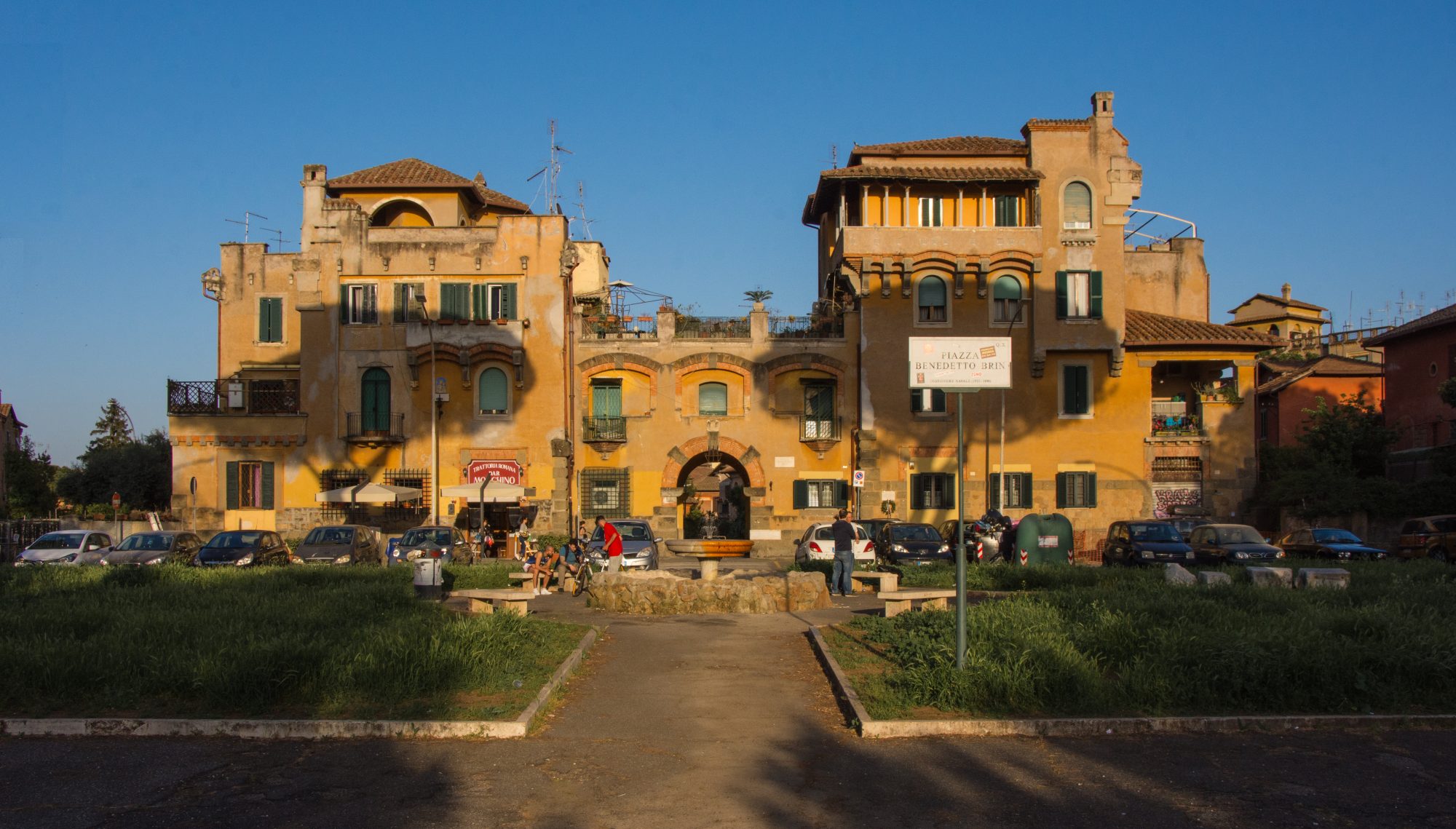
It was with this idea that King Vittorio Emanuele III laid the first stone in Piazza Benedetto Brin, on February 18, 1920: in the inscription commemorating that day, walled up in the central building of the square, we read:
For the august hand of S.M. King Vittorio Emanuele III
the autonomous body for maritime and industrial development
and the Institute of Popular Houses of Rome
with the collaboration of the work cooperatives
to offer quiet and healthy room to the architects of the capital's economic renaissance
this aprico district founded today XVIII February MCMXX
The same port project was a condition of the odonomastic of the nascent area which is a maritime reference, since most of its streets and squares are named after people and subjects of the naval world.
The building project was undertaken in an area that was then semi-uninhabited and covered with vineyards and sheep pastures. A significant exception was the Papal Basilica of San Paolo fuori le mura, from which via delle Sette Chiese branched off, an orthogonal connecting road to the Ardeatina and Appia consular roads, which pilgrims used to go to the basilica of San Sebastiano, and which still today it is traveled for the pilgrimage to the sanctuary of the Madonna del Divino Amore.
In the area there is also the small church dedicated to Saints Isidoro and Eurosia, already known to the people as Chiesoletta and where, according to a legend, a meeting took place between Filippo Neri, creator of the pilgrimage of the Seven Churches, and Carlo Borromeo.

Until about 1930 the name of the district was long debated: the possible alternatives considered were, in addition to the current name, Concordia, as a reminder and wish for social peace, or Remuria: the latter name based on the legend according to which Romulus he would have founded his city on this hill and not, as affirmed by the best known tradition taken from the Ab Urbe condita books CXLII by Tito Livio, on the Palatine Hill.
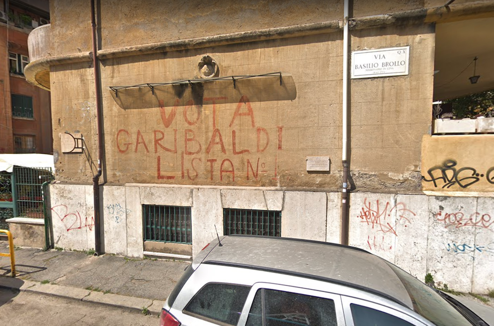
In the years shortly after, the new district was also intended to accommodate numerous families displaced following the demolition of the Spina di Borgo for the construction of via della Conciliazione and the demolition of the houses for the construction of via dei Fori Imperiali, thus giving the district the notoriety of hosting people and families of ancient Roman times.
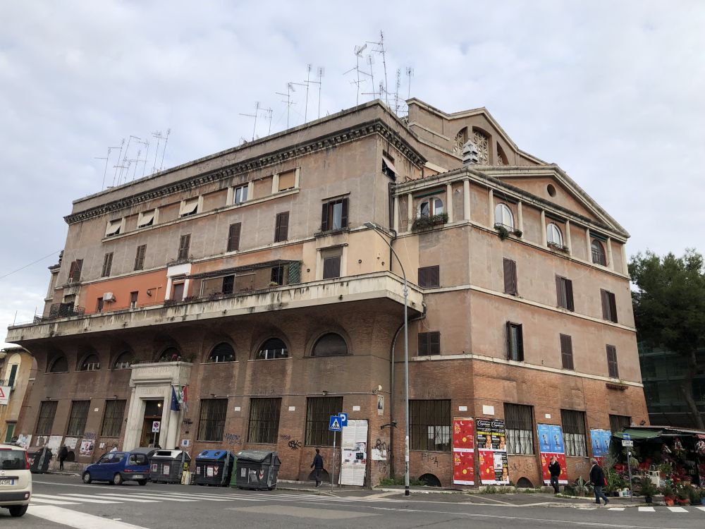
Garbatella District - Virtual Tour 360°
Address: Zona urbanistica 11C del Municipio Roma VIII di Roma Capitale, 00154
Phone:
Site:
https://www.rionegarbatella.it/Location inserted by
Giulio Bargellini