


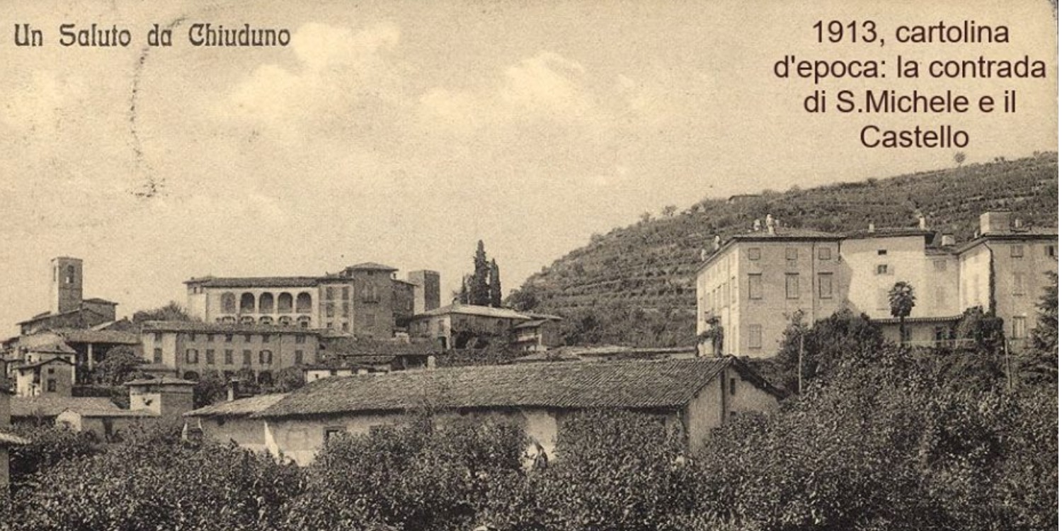
Chiuduno is an Italian town of 5,989 inhabitants in the province of Bergamo, in Lombardy. Located between the Bergamo plain and Valcalepio, it is about 15 kilometers east of the Orobic capital.

The origins of the village date back to the era of Gallic domination, datable around the fifth century BC. The name of the village dates back to this period, originally Claudun, in which the suffix –dun appears, used by the Celtic populations to indicate a place located near hills or mountains. The subsequent Roman colonization changed the name to Claudunum, from which the current toponym derives, and gave new impulses to the village thanks to the presence of a road that connected Bergamo with Brescia. This was located right at the base of the hills of Valcalepio, where the town developed.
Land reclamation led to a widespread diffusion of housing settlements, with mainly cereal crops, and the construction of an important road network, including the Via Francesca, also used for military reasons. On this road, near the oratory of Saints Cosmas and Damian, the famous military column was found, considered among the most important Roman epigraphs in the Province of Bergamo.
Chiuduno City
Address: 24060
Phone: 035 83 83 97
Site:
https://www.comune.chiuduno.bg.it/Location inserted by
Culturalword Abco