This vCard is For Sale, Buy it for: $10,50
Trastevere District - Virtual Tour 360°

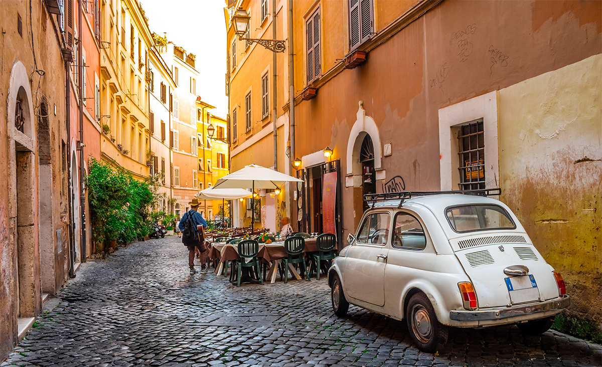
Trastevere is the thirteenth District of Rome, called R. XIII, and the largest. The toponym also indicates the urban area 1B of the first city of Rome, the capital of Rome.

The name derives from the Latin trans Tiberim, which was already the ancient name of the corresponding region of Augustus, since the origin and main development of the city were on the opposite bank.

At the time of the foundation of Rome, the territory of Trastevere was hostile to the Vio-Etruscans and disputed with the nascent city for its strategic importance for the control of the river, the fords of the Tiber island and the ancient port.

It is then connected to the rest of the city through the pons Sublicius, from where the Via Campana leads to the salt pans of the Tyrrhenian Sea and subsequently to the Etruscan city via Aurelia. Remains of a Roman villa have been found near the current Villa Farnesina, whose frescoes are kept in Palazzo Massimo.

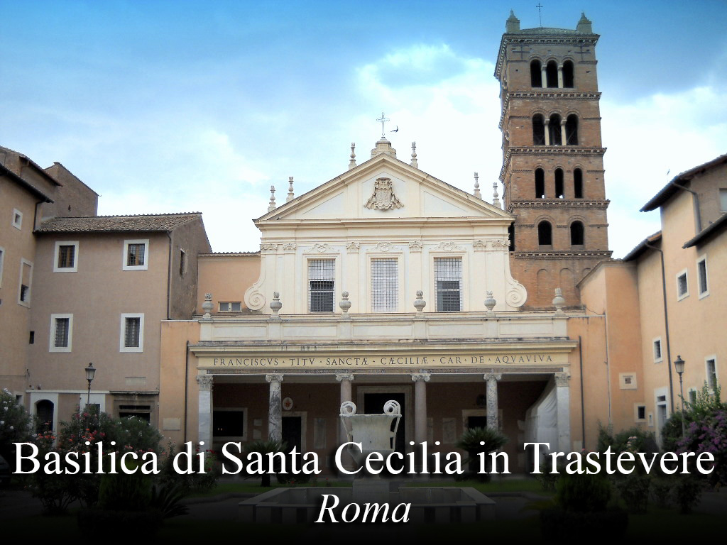
Other Roman testimonies are mainly the excubitorium of the seventh cohort of the brigade and those of the domus located under the churches of Santa Cecilia and San Crisogono. To these remains, known for some time, are added those recently discovered under the former Conservatory of San Pasquale Bellon in Via dei Genovesi.

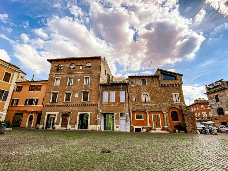
Medieval Trastevere has narrow, winding and irregular streets. Also, due to the Mignani, a ledge that protrudes along the outer wall of the house, there is not enough space for a delivery truck to pass.

At the end of the fifteenth century these Miniani were demolished, but despite this Trastevere remained a labyrinth of alleys. Furthermore, women are considered very beautiful, with very dark eyes and hair and beautiful facial features.

In 1744 Pope Benedict XIV revised the division of the region, giving Trastevere its current borders. After 1870 the walls were built to stop the flooding of the Tiber: this undoubtedly brought greater safety, but at the cost of the destruction of all the most characteristic places on the coast.

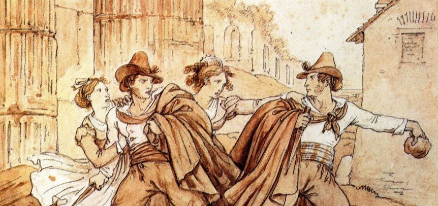
Between the end of the 19th and the beginning of the 20th century the image of Romeo Ottaviani, called er Tinèa, bully, er più de Trastevere, was stabbed to death in via del Moro and is well known in the region and locally.

Video: Trastevere District - Virtual Tour 360°
Map: Trastevere District - Virtual Tour 360°
Address:
Roma (RM) Lazio
Latitude: 41.88928935035376
Longitude: 12.467083003239836
Site: https://www.turismoroma.it/...
vCard created by: CHO.earth
Currently owned by: 00002652
Type: City
Function: Public place
Creation date: 13-10-2021 09:15
Last update: 24/03/2022
vCard Value: $10,50
vCard Views: 716