Virgo Aqueduct - Aqua Virgo

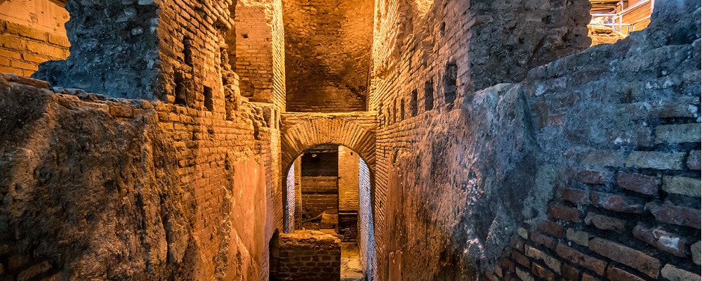
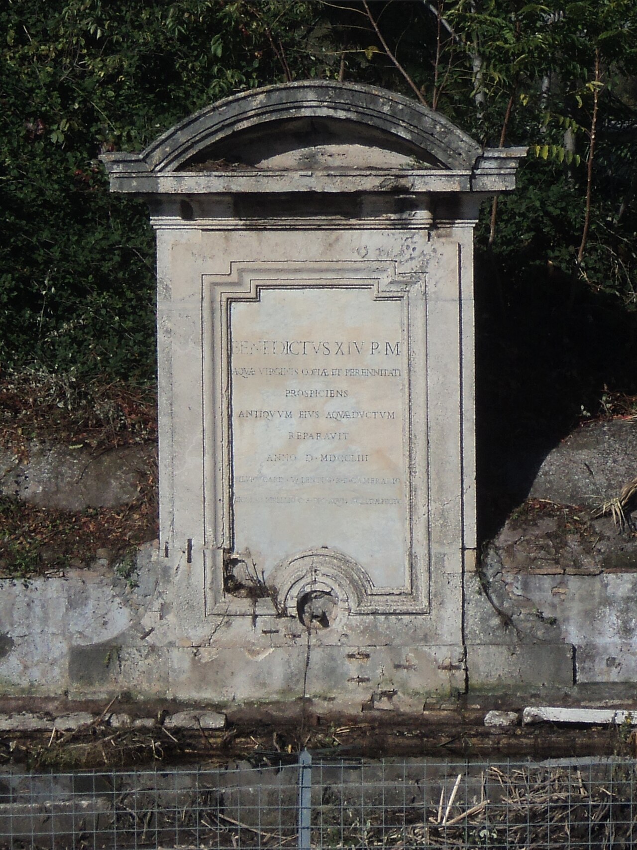
The Virgin Aqueduct (Aqua Virgo) is the only one of the eleven main aqueducts of ancient Rome that has remained in operation uninterrupted to this day, feeding the monumental fountains of the Baroque city, including the Trevi Fountain.

The Trevi Fountain, in the modern age, represents its final exhibition.

Like that of Aqua Iulia, it was built by Marco Vipsanio Agrippa, a faithful friend, collaborator, general and son-in-law of Augustus, and was inaugurated on 9 June 19 BC. Its main function was to be to supply the Agrippa Baths in Campo Marzio.

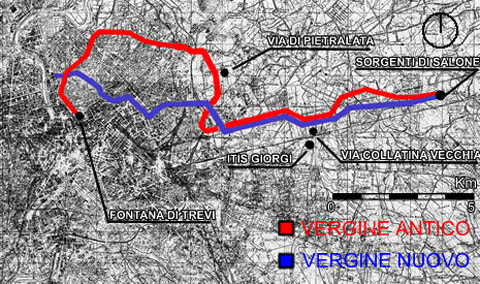
It collects water from springs near the course of the Aniene, at km 10.5 (VIII mile) of via Collatina (in the locality known since the 11th century with the name of "Salone").

It is not a real source, but a rather vast system (still functioning and inspectable) of aquifers and springs whose waters, thanks to a series of underground tunnels acting as tributaries, are conveyed into the main conduit, or in an artificial basin, existing until the nineteenth century, which fed the canal by regulating the flow with a dam.

During the journey the aqueduct then acquired other waters coming from various secondary basins.
The entire route measured 14,105 Roman miles (20,471 km), and was almost completely underground except for the last 1,835 m stretch. which ran outdoors or on arches in the Campo Marzio area.

The route made a very wide arc which, starting from the east, entered the city from the north. In fact, it ran along the Via Collatina up to the Portonaccio area, then up to Pietralata and from there it reached the Via Nomentana and then the Via Salaria, to then turn south and cross the areas of the current Villa Ada, the Parioli district, Villa Borghese, del Pincio and Villa Medici, where a spiral staircase in perfect condition and inspectable - called the Pincio snail - still leads to the underground conduit.
Such a long tour is justified both by the fact that the aqueduct was to serve the area of ??the northern suburb of the city, until then without water supply, and by the fact that, being the source at a rather low level (only 24 meters above sea level) it was It is necessary to avoid those strong differences in height that the entrance by the shortest route would have encountered.

Probably the entrance to the city from that side also allowed to reach the Campo Marzio without crossing densely populated city areas.
Video: Virgo Aqueduct - Aqua Virgo
Map: Virgo Aqueduct - Aqua Virgo
Address: Via del Nazareno, 9a, 00187
Roma (RM) Lazio
Latitude: 41.90255652626493
Longitude: 12.481901049613953
Site: http://www.sovraintendenzaroma...
vCard created by: CHO.earth
Currently owned by: CHO.earth
Type: Manufactured
Function: Archaeological site
Creation date:
Last update: 08/02/2021
