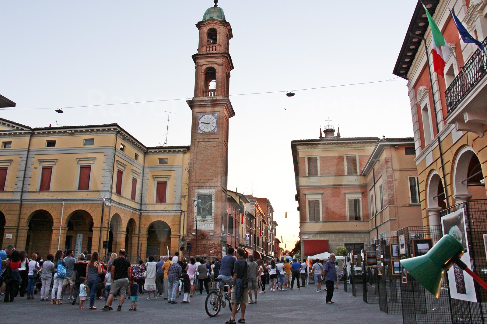
Massa Lombarda

“The wide expanse was but a great swamp. They were still, silent waters, furrowed only by the flight of birds. Reeds and grasses were born in groups, here and there. Sunset and sunrise merged into a sharp line on the horizon. This was the great Padusa Valley. "
(Mario Tabanelli, This is Massa)

In the year 1000 the territory where Massa Lombarda was built was mainly covered by woods. The marshes of the Padusa Valley began a few kilometers to the north. The area was not inhabited: in fact in the early medieval documents it appeared as a mass, that is, it was a collection of funds with a parish church. Since the church was dedicated to St. Paul, the mass took the name of massa Sancti Pauli.
From 767 it belonged to the Byzantine rite monastery of Santa Maria in Cosmedin in Ravenna. For almost two centuries, from 584 to 751, Ravenna had been the capital of the Byzantine territories in Italy. The monastery was founded by a Greek community of probable Basilian observance.

The Basilian monks created a land network (based on the centurial model) consisting of 15 plots with dimensions of 320 x 440 meters approximately. In one of the southern funds stood the parish church.

In the 12th century the limes (boundaries) of the S. Pauli mass were: to the south, the limes of Guercinoro (which corresponds to the current border with Mordano); to the west the limes Mundus, beyond which there was the "possession of the Bolognano"; to the north the ideal continuation line of via San Vitale on the axis of S. Agata sul Santerno, beyond which there was the Silva Bagnarola; to the east the limes of S. Anastasio, beyond which there were the Melétolo, Roncadello and the Santerno river.
Video: Massa Lombarda
Map: Massa Lombarda
Address: Piazza Giacomo Matteotti, 16, 48024
(RA) Emilia Romagna
Latitude: 44.4468649
Longitude: 11.8267219
Site: comune.massalombarda.ra.it...
vCard created by: BBCC
Currently owned by: BBCC
Type: City
Function: Public place
Creation date: 18-01-2020 14:36
Last update: 11/07/2022